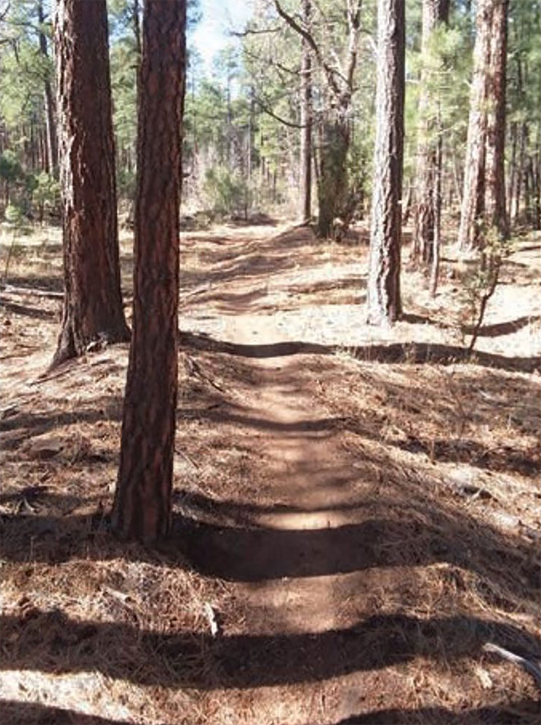
Over the years, we received several requests for a shortcut loop on the Blue Ridge trail. In 2022, TRACKS received a grant from Navajo County to build a new shortcut trail.
After mapping out the trail along topographic lines up the hill to make it an easy ascent, we contracted with Big Loop Trails to mechanically construct this trail with sustainability in mind.
Big Loop Trails completed the trail in May 2024. After the TRACKS trail crew added the final polish, Lumberjack Trail was dedicated in June 2024. It is an official US Forest Service trail titled “Lumberjack Trail #106”.
Finished in 2024.
Rollover Gates
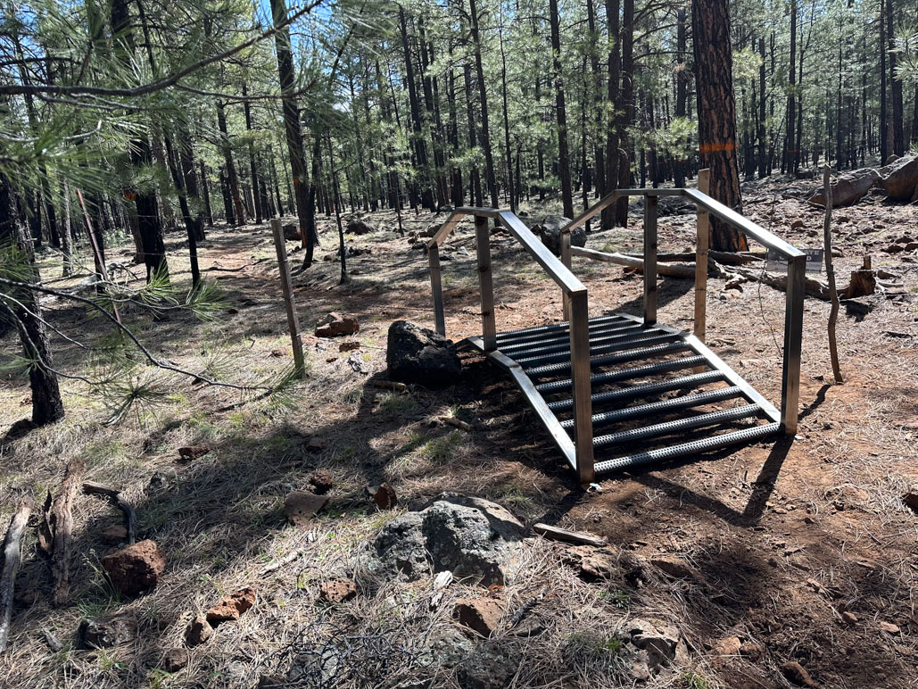
Many of our trails cross fence lines; consequently, there are gates to open and close to cross those fence lines. After hikers and mountain bikers commented negatively about having to open and close gates, and ranchers repetitively advised that gates were being left open, a resolution was desperately needed to address the mounting concerns. The solution was to install rollover gates that hikers and mountain bikers could traverse without stopping to open a gate.
-In 2021, TRACKS applied for a grant to Arizona Parks and Trails, entering into a cost-sharing agreement for 27 rollover gates. Our TRACKS crew installed the gates in the early part of 2023. The rollover gates have been well received by mountain bikers and hikers alike.
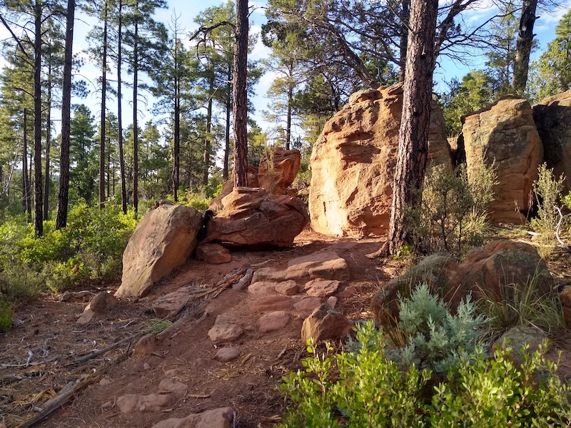
Los Caballos Trail Update
Los Caballos is a historic trail primarily built on former logging roads. Over time, erosion has impacted the trail and made it more difficult to traverse. TRACKS anticipated that the trail may need some updates and re-imagined the trail. After applying for and receiving a cost-sharing grant from the City of Show Low, TRACKS hired Big Loop Trails to design an improved trail system. The plan eliminated the various steep climbs with a goal of no more than a 5 percent incline. Since the new trail was about 21.5 miles long, and we needed some shorter loops, opportunities were suggested to allow for greater access by multiple types of hikers and mountain bikers. The proposed and improved trail also incorporates a second trailhead.
The proposal requires a heritage study and requires a mechanical build. This project will be a huge undertaking for TRACKS and will require significant funding from multiple sources.
The Chipmunk Connector is a popular trail connecting Country Club Trail and Los Burros Trail. Chipmunk is viewed as a 3-part trail with the start and end being more of a single-track trail. The middle section from CM8 to CM18 at FS283 was built using former logging roads. Erosion and sustainability are primary concerns, coupled with the route the trail traverses. TRACKS has proposed a re-route to the north that follows the topographic lines of the trail with a 3-4 percent gradual climb. We await USFS approval of this proposal.
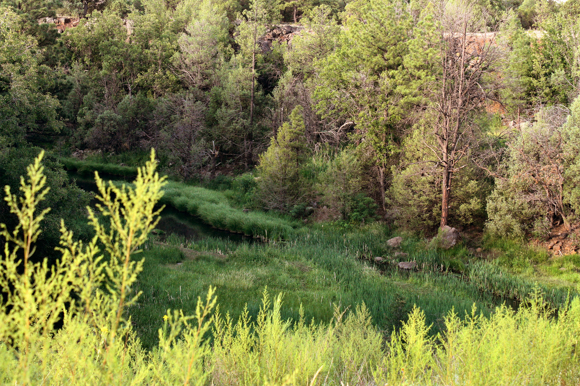
Buena Vista Trail Revision
Since 2019, Save the Buena Vista Foundation and TRACKS have been partnering with the City of Show Low, Navajo County, and the US Forest Service to improve the Buena Vista Trail #637. The project seeks to move the trails away from former logging roads by creating a sustainable "stacked-loop" trail system that offers the public greater use and enjoyment. When completed, the Buena Vista Trail will not be just one trail; it will be an assortment of trails and loops of various sizes that can be customized to the likes of the user in terms of both length and difficulty, and renamed the “Buena Vista Trail System.” Preserving the Buena Vista trail is essential; not only is it one of the closest trails to the City of Show Low, but it is also easy to use for residents and visitors to the White Mountain area.